Europe 2013: On the Way to ScotlandAugust 13, 2013
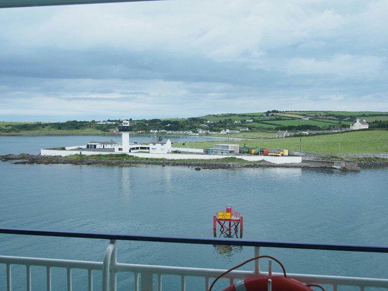
As I type this, I am on the European Highlander, a car ferry from Larne, Northern Ireland to Cairnryan, Scotland. I have mixed feelings about leaving Ireland so early. It's a really pretty place, and I'd like to explore it a bit more. On the other hand, I have so far only unfolded a corner of my map of Europe to draw in my route, and I have a lot of ground to cover. So, I decided against dallying too long. If I need to come back and see something, Ireland is my final destination as well, so I can always just come back early. As Martin (of Motofeirme) jokingly said, "Anywhere in Ireland is 3 hours from Dublin." The European Highlander is a big boat, much larger than the Washington State Ferries I'm used to. Of course, it has to traverse potentially much rougher water in the Irish Sea, and the crossing is two hours, not 35 minutes. It's not as big as the really huge car ferries like we rode in New Zealand, but it's still an impressive vessel. This morning, as I sat in the now-quiet common room at the campground, I pondered the decision to go to Scotland today or not. There are ferries at 7:45 am and 4:15 pm every day, and I knew for a fact that I'd be far happier taking an afternoon ferry. Although I'm waking up much earlier than normal on this trip (basically keeping to the sun's schedule), a 7:45 ferry means being in line at 6:45, and packing up camp takes about 30 minutes if I'm working quickly and efficiently, so it starts to sound really untennable. So, I decided to aim for today's 4:15 ferry.
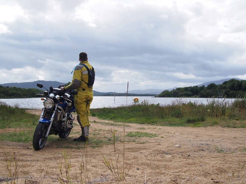
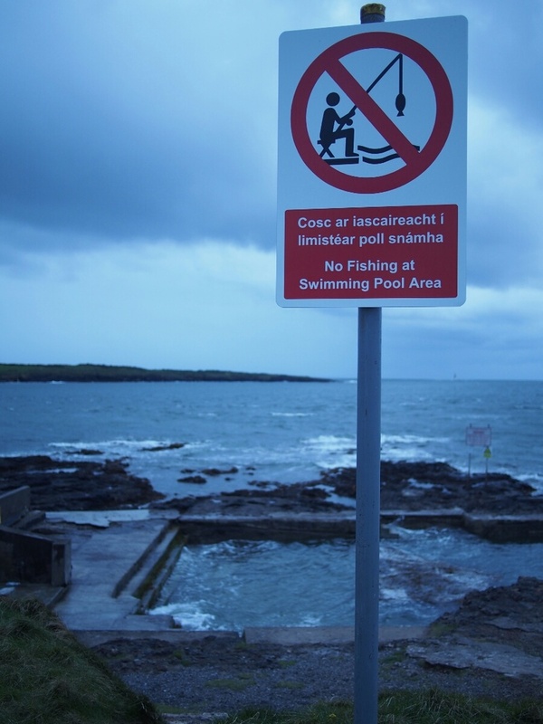
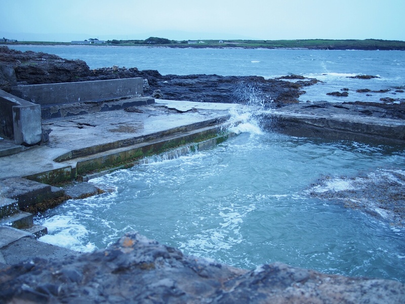
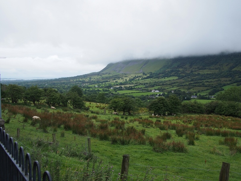
I did some research, plugging in values to the GPS, to see what it thought, and came up with the idea that I could comfortably make it to Larne (where the ferry departs) with an hour or two to spare. I couldn't dally much, but I could make it. So, I headed back to camp and started packing, including dropping off a contact card with the folks I ended up hanging out with last night (names all naturally forgotten, but one was a woman from Spokane, of all things, her Irish boyfriend, and a guy who was a scout leader from the Lakes Region in England). Turns out, when someone's dog is barking and you go up to say hi, that's a good conversation starter. I set off with a minimum of fuss and re-packing of things (I still haven't sorted out all the minute details of packing for this trip), with the clouds rolling in off the Atlantic, low and threatening and monochromatically beautiful. Speaking of the Atlantic, I went down last night and intended to put my hand into the water to see how warm it was, although what I actually did was put my hand in the path of one of the bigger and more predictable splashes. It was quite warm. This was at a structure called a "swimming pool," which included a sign saying, "No fishing in the swimming pool." It looked just like a swimming pool had been built into the rocks at the shore, except it was missing the wall that would contain the water from the sea. There was a giant patch of seaweed floating in the middle of it, which ruined the appeal somewhat. Once on my way, I decided to stop in Sligo, to pick up some tent stakes, since I found myself perpetually two short. I'm not sure why this hasn't bothered me in the past, but I imagine it's because I was in US-style campgrounds, where there was reliably some convenient piece of vegetation to tie the missing leads to. So far, I've been effectively pitching my tent on a huge lawn, so stakes are the only way. After a bit of a comedy of "Wait, how is this map representative of reality at all?" I found the place the campground clerk had recommended, and acquired my stakes. I was off, the GPS showing that I would arrive in Larne at 2 pm. A highly unlikely story, Garmin. It was another mileage day (relatively speaking -- it wouldn't have been worth thinking about if I didn't have that 3:30 deadline to get in line for the ferry), and I found myself on motorways more often than I wanted. I diverted a few times, and the GPS faithfully recalculated for me, giving me brief breaks on smaller roads when I couldn't take the slab any more. Still, nothing beats rolling down the road at 120 km/h to get you places in a hurry. A curious thing happened at the tiny town of Belcoo. I was riding merrily along, doing 100 km/h on the N16, when suddenly the sign said 30 for the speed. Odd, thought I. The lowest posted speed I'd seen so far was 50 (which is about 30 MPH). Then I read under the speed: "The speed is posted in MPH." With no fanfare or even a sign, I was in Northern Ireland. Signs in MPH, Gaelic all but disappeared from its English counterparts, and a bunch of other tiny but conspicuous changes. The one that struck me most was how, at random along the road, there would be tall poles with the Union Jack flying off them. I can't claim any real knowledge of Northern Irish history, but this struck me as being an odd sight. They weren't attached to buildings or properties in any obvious way, they'd just show up at intersections, or randomly along the roadside. The countryside changed in very slight, but still perceptible ways. There were more fields that looked untended. It was now possible to spot the occasional house that wasn't perfectly painted and tended. The hills seemed to be taller and more prominent. I also noticed the gas prices were "cheaper" -- they were now in pounds sterling rather than euros, so the number of currency units per liter was smaller by a little bit (prices went from 1.58 euros to 1.37 pounds, basically). I was nearing my goal, and I felt uncomfortable to be treating Northern Ireland as basically a thoroughfare. I didn't plan enough time for this trip, plainly. With a stop for a particularly scenic valley (they're already blending together in my mind, as I review the pictures -- good thing for timestamps and clear records of where I was at what time), I arrived in Larne.
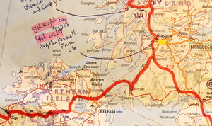
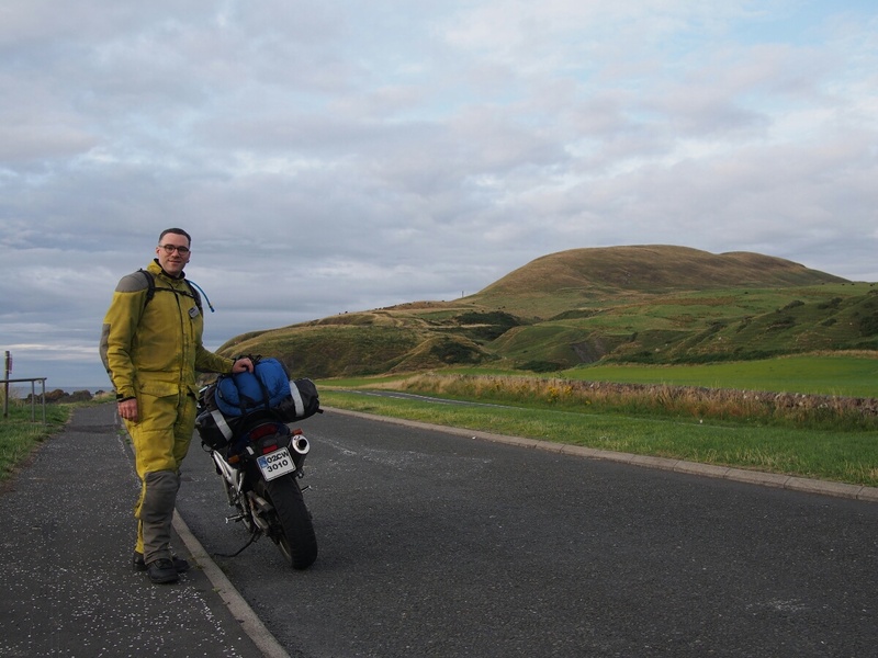
There was perhaps a 20 minute wait for the ferry, during which time I communicated to Martin my findings regarding my speedometer: the dial is in MPH, yet the odometer is clearly incrementing in kilometers. Finally, looking at it from an angle, I saw inscribed along the edge: Redial UK. Obviously some previous owner had had the dial face changed, but couldn't change the odometer units. No big deal, I guess. He said Barry has left, and he's all alone again. I think he likes the built-in social life of having incoming bikers to keep things interesting. I'll be back in around five weeks. We're 20 minutes from our scheduled arrival time at Cairnryan. I hope, if you're interested, you're looking up these places on Google Maps or something like it. I'll have a picture tonight of my in-progress Europe map, and I realized yesterday I actually have a complete GPS track that I should be able to upload at some point, for the ultimate in where-was-Ian voyeurism. (The tracks work well in Google Earth, for instance.) Ok, there's the call, time to pack up. Return to the Europe 2013 page Created by Ian Johnston. Questions? Please mail me at reaper at obairlann dot net. | |||||||||||||||||||||
